Map
Colour printing remains legible. Panel folds, light toning and small handling marks are present; no obvious loss is visible in the supplied photographs.
Chosen · Described · Sold with care
The copy in detail
A faithful presentation of the object.
Photographs of the piece offered; only the backgrounds have been standardised. Text, colours, structure and visible condition remain unchanged.
Every view shows the piece being offered. A supporting hand remains visible only where it helps show the structure safely.
The Selection · FM S 0004
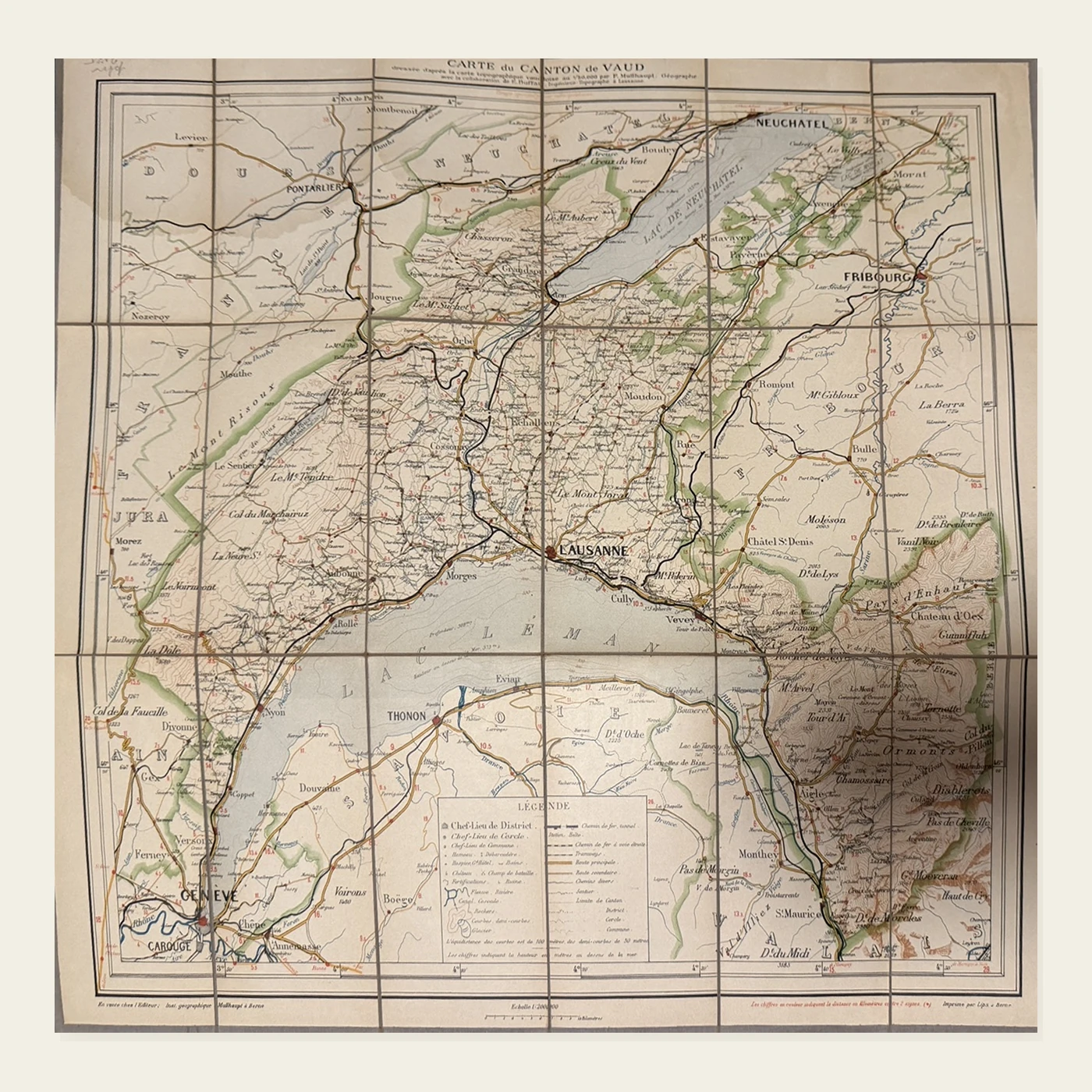
A colour road map created for early cyclists, covering the Canton of Vaud and its surroundings and mounted on linen for repeated opening while travelling.
Price
CHF 98Status
AvailableAvailability, condition and protective packing are confirmed personally before payment.
Reserve this pieceBibliographical description
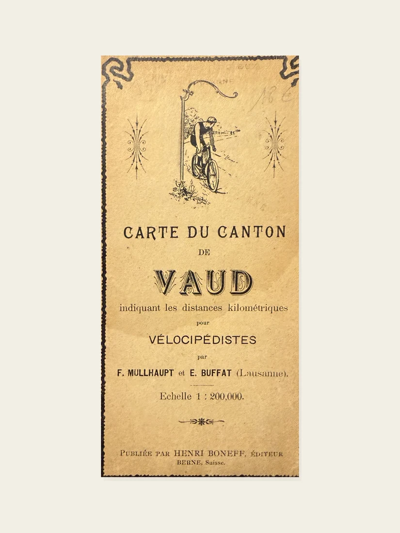
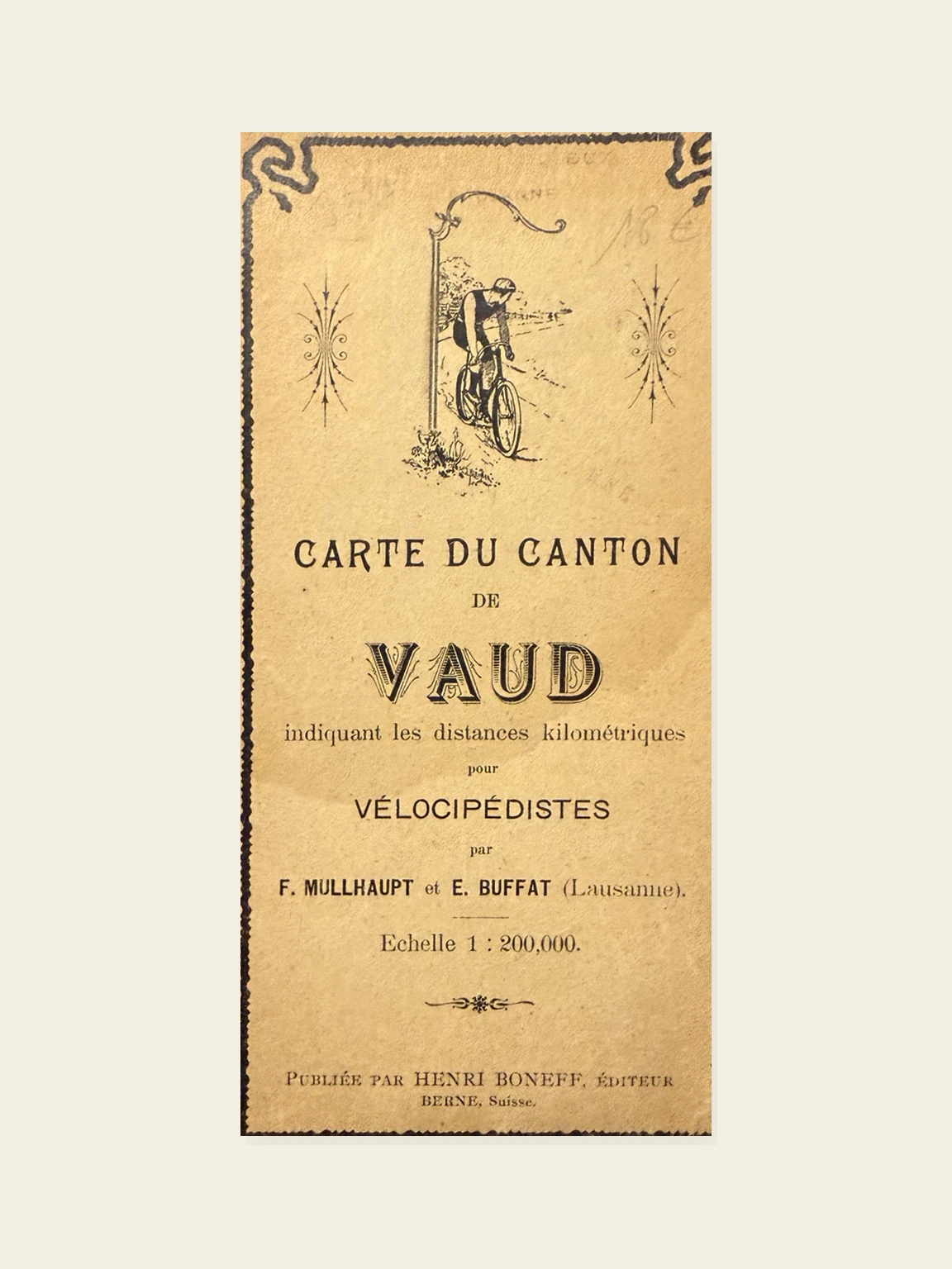
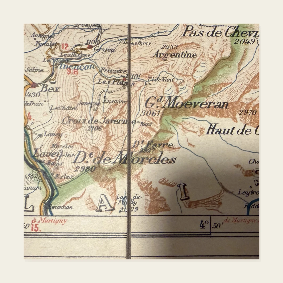
The cyclist pictured on the cover makes the map's intended use explicit. Roads carry kilometre distances, while relief, lakes, rivers and settlements offer a practical reading of Vaud at the dawn of cycle touring.
The title appears in a geographical bibliography published in 1898. Henri Boneff's Bern imprint, used while he distributed Müllhaupt maps, supports a cautious date of circa 1899 rather than an exact year not printed on the object.
Its linen backing and pocket format make it both a cartographic document, an object of local history and a witness to the beginnings of recreational cycling in French-speaking Switzerland.
Condition of the piece
Colour printing remains legible. Panel folds, light toning and small handling marks are present; no obvious loss is visible in the supplied photographs.
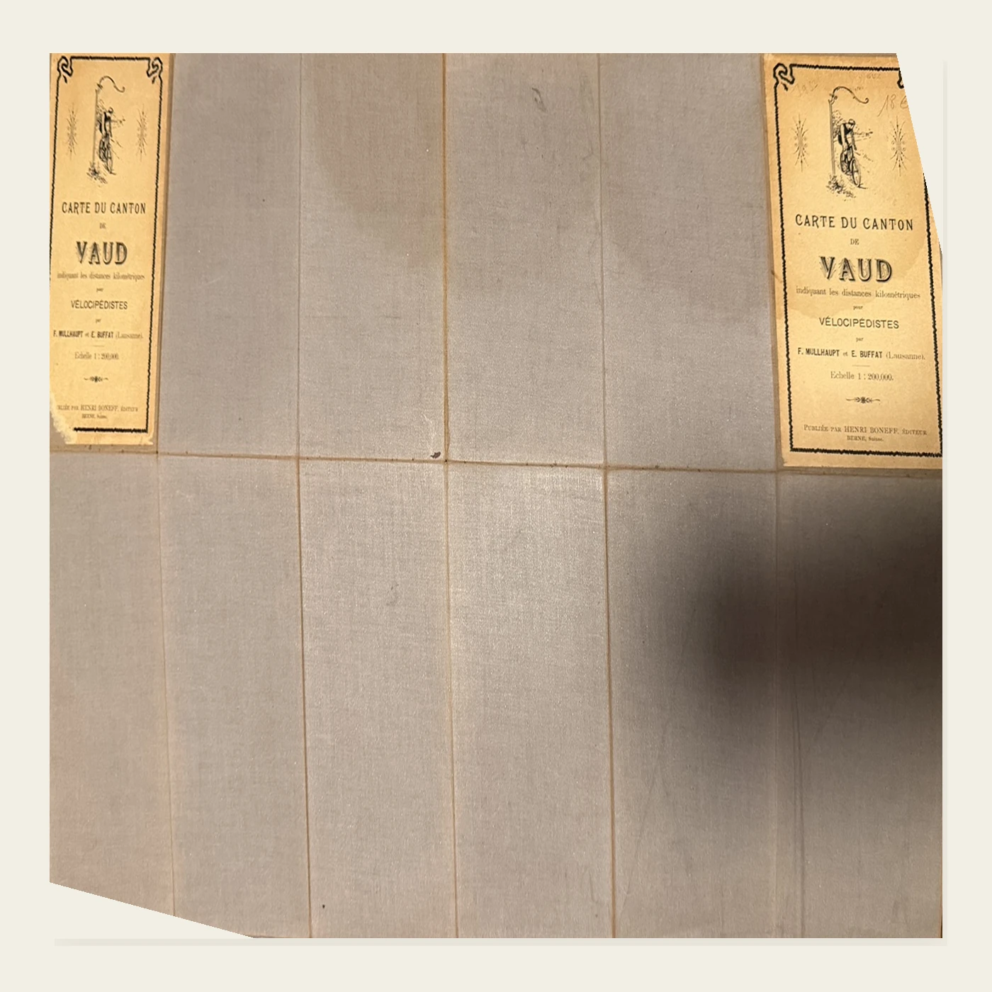
Beige textile backing preserved, with browning along the joints, scattered marks and slight local wear at the central intersection.
Both printed cover labels survive on the outer panels. Paper toned and rubbed, with an old pencil annotation.
Photographs of the map offered; only the backgrounds have been standardised. Line work, colours, linen and visible condition remain unchanged.
FOLIA MUNDI · Described with care
Its appeal lies in the meeting of Vaud's landscape, practical road cartography and the earliest cycling culture. Personal confirmation always precedes payment.
Reserve this piece